The Nippon Foundation-GEBCO Seabed 2030 Project has put a stark number on one of Earth science’s biggest blind spots: only 28% of the ocean floor has been mapped with acoustic precision. That leaves most of the planet’s seabed described through broader satellite-based estimates, even as detailed maps of Mars and the Moon can show features at scales of only a few meters.
The gap matters far beyond scientific curiosity. Accurate seabed maps shape safer navigation, stronger tsunami models, smarter cable routes and better decisions about fisheries, mineral resources and marine conservation. For Brazil, the issue also reaches into sovereignty, because the country’s vast maritime zone, often called the Blue Amazon, contains deep areas that remain poorly known.
Since the global mapping effort began in 2017, the share of the seafloor mapped with modern acoustic methods has climbed from about 5% to 28%. The goal is far more ambitious: a complete map of the ocean floor by 2030. Reaching it will require ships, autonomous vehicles, shared data and political will from countries with long coastlines and deep economic stakes in the sea.
The Ocean Floor Is Still Mostly Estimated
Only 28% of the ocean floor has been measured with the kind of acoustic precision that scientists need for detailed maps. The remaining 72% depends largely on satellite estimates. Those estimates are useful for broad views, yet they miss much of the shape, texture and complexity that exists on the seabed itself.
Satellites infer seafloor topography by reading subtle changes in the ocean surface. Underwater mountains and trenches slightly alter gravity and gravity subtly changes sea level above them. That method can reveal large features, but it cannot replace measurements taken from ships or underwater vehicles that send sound down to the seabed and listen for the return signal.
The comparison with other worlds is striking. Scientists have produced high-resolution maps of the Moon and Mars, while Earth’s own ocean floor remains mostly unmeasured in detail. The difficulty comes from seawater itself. Light and radar cannot easily penetrate the deep ocean, so mapping requires instruments that work through sound.
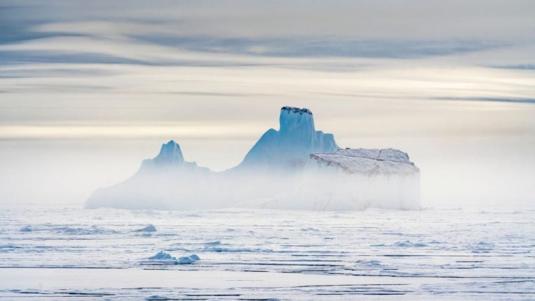
That makes the seabed one of the planet’s most important hidden landscapes. It holds mountain chains, canyons, volcanic regions, sediment plains, coral habitats and hydrothermal vent systems. These places influence ocean circulation, marine life, geological risk and the routes of human infrastructure across the seafloor.
Why Sonar Changes the Map
Acoustic mapping gives scientists a direct way to measure depth. A ship or underwater vehicle sends sound pulses toward the bottom, then records how long the echoes take to return. Since sound travels through seawater at a known speed, researchers can calculate depth and build a three-dimensional picture of the seabed.
Modern multibeam echosounders changed the scale of this work. Instead of measuring a single point beneath a ship, they sweep wide strips of seafloor with many sound beams at once. As a vessel moves, those strips combine into detailed maps that show ridges, slopes, channels, seamounts, reefs and other features.
Depth is only part of the story. Many modern systems also measure backscatter, which is the strength of the sound signal that returns from the seabed. Hard rock, soft mud, sand, algae and reef structures reflect sound in different ways. That means sonar can help scientists understand what the bottom is made of, along with how deep it is.
This matters because seabed structure often relates to marine life. A varied bottom can create shelter, feeding grounds and currents that support diverse ecosystems. When depth and backscatter are combined, scientists can build maps of marine geodiversity. Those maps can help point to likely habitats for species that have never been directly surveyed.
Better sonar maps also improve safety. Ships need accurate nautical charts, especially near coasts, ports, reefs and shallow passages. Offshore platforms, wind farms and submarine internet cables also depend on reliable seafloor data. In the deep ocean, better maps can improve models of how tsunamis move across basins and interact with underwater slopes.
From Ropes to AI Seafloor Models
The history of seafloor mapping began with simple tools. Early mariners lowered a weight on a rope until it touched bottom. The method, called lead-line sounding, produced isolated depth measurements. It was slow, physically demanding and easy to distort in rough seas or deep water.
In 1855, Matthew Fontaine Maury published one of the early influential maps of the Atlantic. A few decades later, the Challenger Expedition of 1872 to 1876 marked a turning point for oceanography. The expedition traveled about 70,000 nautical miles, roughly 130,000 kilometers and made more than 500 measurements across the world’s oceans.
The next great leap came when scientists began seeing the ocean floor as a connected global landscape. In the 1970s, Marie Tharp, Bruce Heezen and Maurice Ewing of Columbia University produced a detailed physiographic map of the ocean floor. Tharp’s work helped reveal the shape of mid-ocean ridges and supported the emerging theory of plate tectonics.
Today, seafloor mapping has entered a new phase. Ships still matter, but autonomous underwater vehicles can now travel close to the bottom and collect data in places that are hard or expensive for ships to survey. Remotely operated vehicles can also dive to great depths while sending images and sensor data back to researchers.
Artificial intelligence is becoming part of the workflow. Algorithms can be trained to classify seafloor types from acoustic signals and terrain patterns. These models can help predict where reefs, fishing grounds, mineral deposits, or vulnerable habitats may occur. Human experts still need to check and interpret the results, especially where the data are sparse.
Why Brazil’s “Blue Amazon” Matters
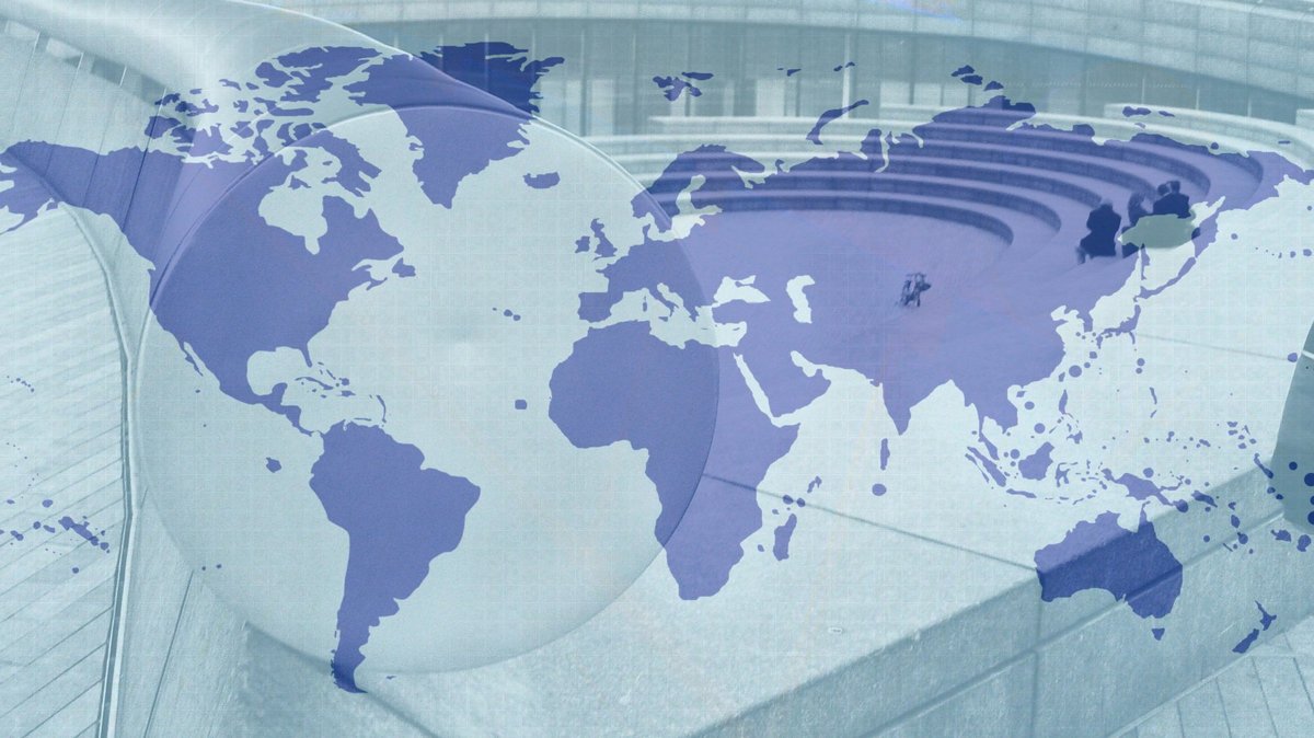
Brazil has a special stake in the ocean mapping race because its maritime territory is enormous. The country’s Exclusive Economic Zone, widely known as the Blue Amazon, covers about 3.6 million square kilometers. Brazil is also seeking to expand that area through a request at the United Nations, which could bring the total to about 5.7 million square kilometers.
Much of that region is deep. According to the source material, about 80% of the expanded area lies deeper than 200 meters. That depth matters because deeper seabeds are harder to map, harder to monitor and often more expensive to study. It also means that legal, economic and environmental decisions depend on knowledge that remains incomplete.
Over the past fifteen years, Brazilian researchers have described important underwater features despite limited resources. These include submerged reefs on the Abrolhos Platform, drowned river systems in Espírito Santo and reef structures near the mouth of the Amazon River. Each discovery suggests that parts of Brazil’s offshore territory still hold major scientific surprises.
The seabed also has practical value for Brazil’s economy. Ports, shipping lanes, offshore energy, fisheries and submarine cables all depend on reliable marine information. Marine sediments can store carbon for thousands of years, which links the deep seabed to climate questions. Seamounts, vents and coral systems may host species that science has barely begun to describe.
That is why researchers frame seafloor mapping as a strategic issue. Sovereignty at sea depends on charts, surveys and data. Countries that understand their offshore territory can manage resources more responsibly, protect sensitive ecosystems and make stronger claims about the areas under their jurisdiction.
The 2030 Race to Map the Seabed
The international deadline gives the work unusual urgency. When the Seabed 2030 effort launched in 2017, only about 5% of the ocean floor had been mapped with acoustic precision. The total has now reached 28%, a major improvement in less than a decade. The remaining 72% will be harder, because many unmapped areas are remote, deep, or poorly covered by survey vessels.
The project is built on a simple idea: many ships have already collected valuable data and many more can collect new data as they travel. Research vessels, government hydrographic offices, commercial operators and private companies may all hold information that could improve the global map. Sharing that data is one of the fastest ways to close the gap.
Some information remains confidential, especially data collected by companies. That creates a challenge for public science. Commercial surveys can be highly detailed, but they may remain locked away because of business interests, security concerns, or regulatory limits. Broader data-sharing agreements could help countries improve public maps while protecting sensitive information.
Brazil’s 2026 and 2027 window could be especially important. According to the source material, the Schmidt Ocean Institute has brought the research vessel Falkor to the Western South Atlantic for expeditions with Brazilian and international scientists. The missions are expected to use an autonomous vehicle capable of mapping down to 6,000 meters and a remotely operated vehicle that can dive to 4,500 meters.
Those expeditions could give researchers a rare look at deep regions of the South Atlantic. They may also help train scientists, expand public datasets and highlight areas that need long-term monitoring. For the global 2030 goal, each new survey fills another blank space. For Brazil, the same data could strengthen ocean science, environmental planning and knowledge of the Blue Amazon.